Preliminary studies
What Surveys and Measurements Might Be Needed Before Design Begins?
Before starting the design process, it is worth identifying which surveys and investigations are needed for your property or building. Here is an overview of the main options and how to get started.
Before building a new house, planning an extension or undertaking a major renovation, it is worth finding out what information is already available about the property and the building. Surveys and measurements provide architects, designers and other specialists with the baseline data they need to develop well-considered solutions. Not every project requires the same surveys — the necessary work depends on the proposed development, the location and the information already available.
1. Topographic Survey
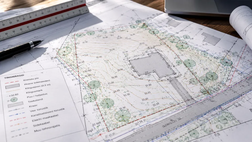
A topographic survey records the existing conditions of the area where a project is planned. The result is a site plan, commonly referred to as a topographic base plan, which can be used as the starting point for a planning or construction design project. The exact content and scope of the survey depend on the site and the project brief.
The plan may show ground levels and terrain, existing buildings and structures, access routes, visible site features and utility networks included in the survey. This information helps the designer determine where a building can be positioned, how to address levels and access, and which existing site conditions must be taken into account.
What should you keep in mind as a client?
Before commissioning a new survey, check whether a topographic base plan already exists and whether it reflects current site conditions. Ask your designer or surveyor to confirm whether it is suitable for your particular project.
Important: a topographic base plan is not automatically an official document establishing the exact legal boundaries of a property.
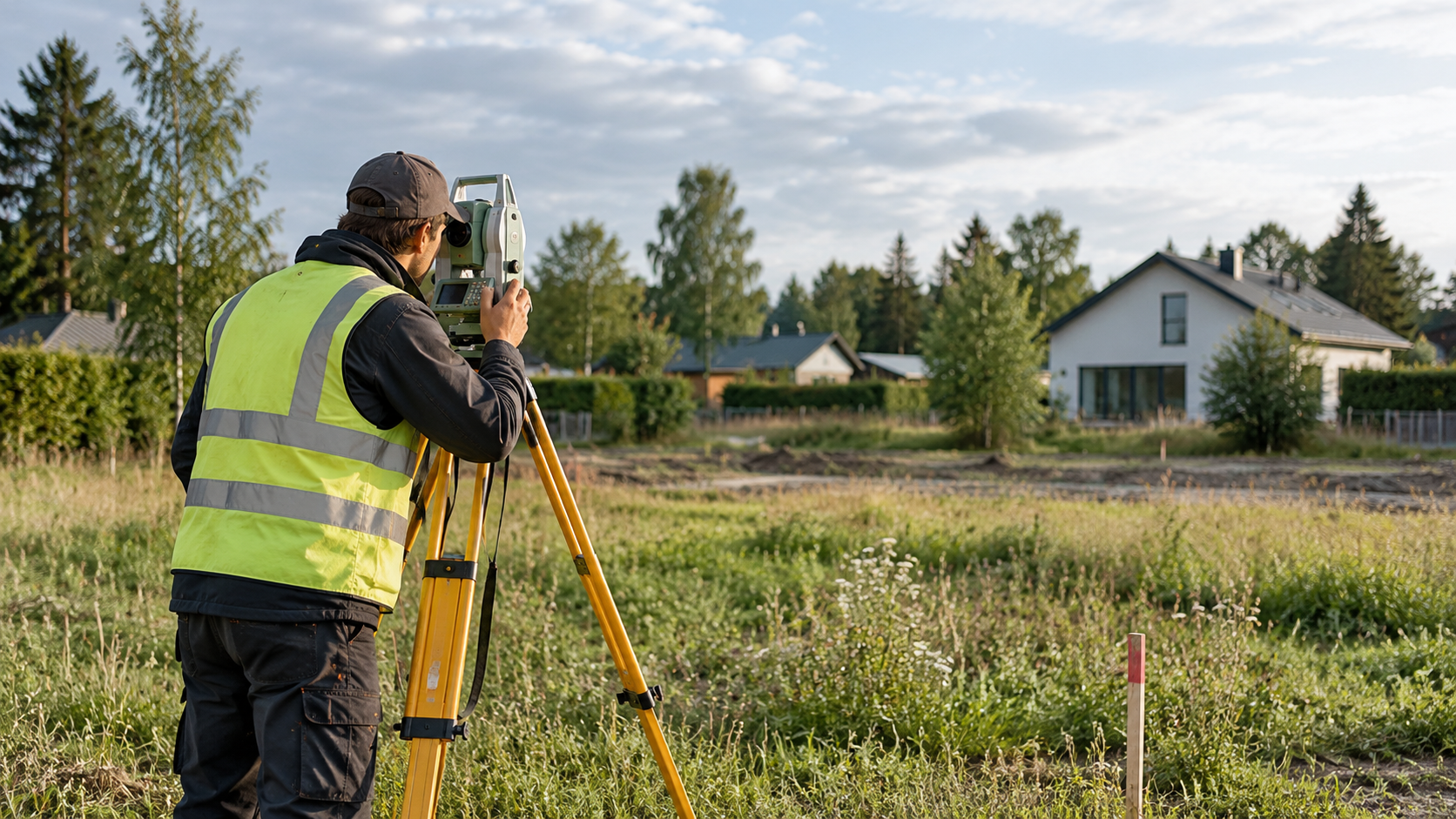
If a building or structure is planned close to a boundary, or the boundary location is unclear, consult a qualified land surveyor and check whether a cadastral survey is required.
2. Engineering Geological or Geotechnical Investigation
The purpose of a geological investigation is to obtain information about soil layers and ground conditions. This information can be important when designing foundations, basements, retaining walls and other structures that interact with the ground. Whether an investigation is needed depends, among other things, on the expected soil conditions, the characteristics of the proposed building and the design brief.
The investigation establishes which ground conditions need to be taken into account. Depending on the requirements and scope of the investigation, groundwater conditions may also be assessed. The results help the designer select suitable solutions and identify potential risks before construction begins.
An engineering geological investigation is not automatically necessary before every small project. When required, its methods and scope should be determined according to the specific site and proposed structure. Ask your designer whether an investigation is needed and what questions it should address.
3. Measuring an Existing Building and Assessing Its Condition
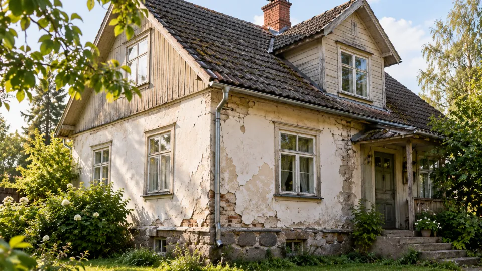
If you are planning to renovate an existing house, add an extension or redesign its interior, a building survey may be necessary. This records the building's actual dimensions and layout so that the designer does not have to rely on outdated or inaccurate drawings.
However, measuring a building and assessing its technical condition are two different tasks. A survey establishes the building's actual geometry, while assessing the condition of its structures or building systems may require a suitably qualified specialist. The work required depends on the scope of the proposed changes and the documentation available for the existing building.
4. What Other Baseline Information Might Be Needed?
In addition to on-site surveys, the designer may need other documents and information. It is worth checking the following at an early stage:
- information about the applicable detailed spatial plan or design conditions, as well as any restrictions affecting the property;
- details of existing water, sewerage, electricity and other utility networks, including connection conditions where necessary;
- previous surveys, investigation reports and drawings of the existing building;
- information about protected sites, valuable trees or other special conditions that could affect the proposed work.
Not every project requires all of this information. The aim is to collect the baseline data that the specific project and design process actually need.
5. How to Get Started: Four Practical Steps
-
Describe your plans. Are you planning to build a new house, extend an existing building, alter its layout or develop the plot? Record the location and your main objectives.
-
Gather the existing documents. Find the property information, previous plans, investigation reports and building drawings. Do not assume that older documents are automatically up to date.
-
Speak to your designer. Ask what baseline information your project requires and in what format it should be provided. If necessary, the designer can help determine whether to start with a topographic survey or commission an engineering geological investigation as well.
-
Request quotations with a clear brief. When asking a surveyor or investigation provider for a quotation, describe the site, the proposed work and the results you need. This will make it easier to compare offers.
Frequently Asked Questions
Do all projects require both topographic and geological surveys?
No. The required work depends on the proposed building or alteration, the location, the ground conditions, the available documentation and the requirements of the designer and relevant authorities. It is best to establish the need for surveys as early as possible.
Can an old topographic base plan be reused?
Sometimes, yes. However, before reusing it, check whether it reflects the actual site conditions, contains the information needed for the project and is suitable as a basis for the proposed work. Review it with your designer or surveyor.
Does a topographic base plan show the exact property boundary?
Not necessarily. The cadastral boundary shown on a topographic plan may be inaccurate, depending on the available data. If the boundary is important for determining the building's position, consult a qualified land surveyor.
Before Submitting an Enquiry
Once you have established which surveys or measurements your project requires, you can submit a free enquiry through BeforeBuilding.ee. Review the specialists who express interest and choose whom you would like to receive a quotation from. Include a clear description of the project's purpose and the documents already available.
Useful Resources
- Requirements for topographic surveys and as-built surveys – Riigi Teataja
- Requirements for engineering geological investigations – Riigi Teataja
- A licensed land surveyor determines precise boundaries – Estonian Land and Spatial Development Board
- A landowner's checklist – Estonian Land and Spatial Development Board
- Building Guide – e-Construction platform
Construction and survey requirements may vary depending on the specific project. Before commissioning any work, confirm the applicable requirements with your designer and local authority.